Original French article « Curiosity traverse le dernier cordon de dunes » by Alain Souchier, English translation by Patrick Sibon.
After stopping for a long time in the last line of dunes which separates it from the « hematite country », in particular to study the surroundings of the Ireson hill and to study the dune itself, Curiosity is progressing now in a passage with a not too loose ground which will allow the rover to cross the obstacle.
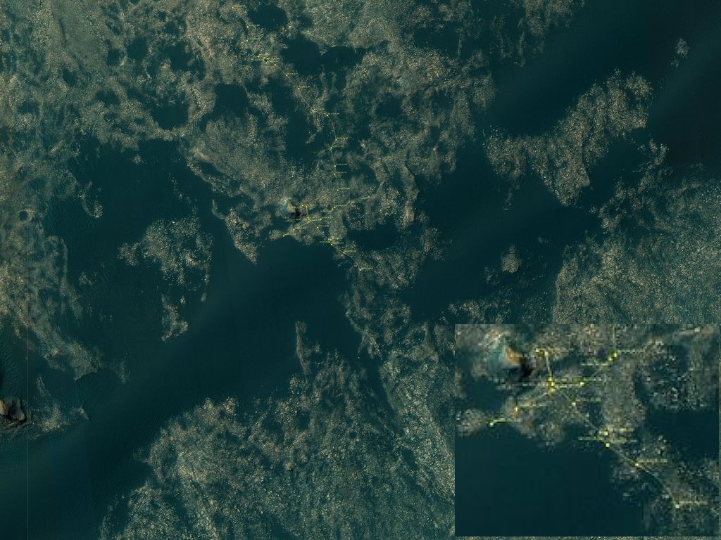
Halfway through the last Bagnold dune bead (Doc. NASA / JPL-Caltech / University of Arizona)
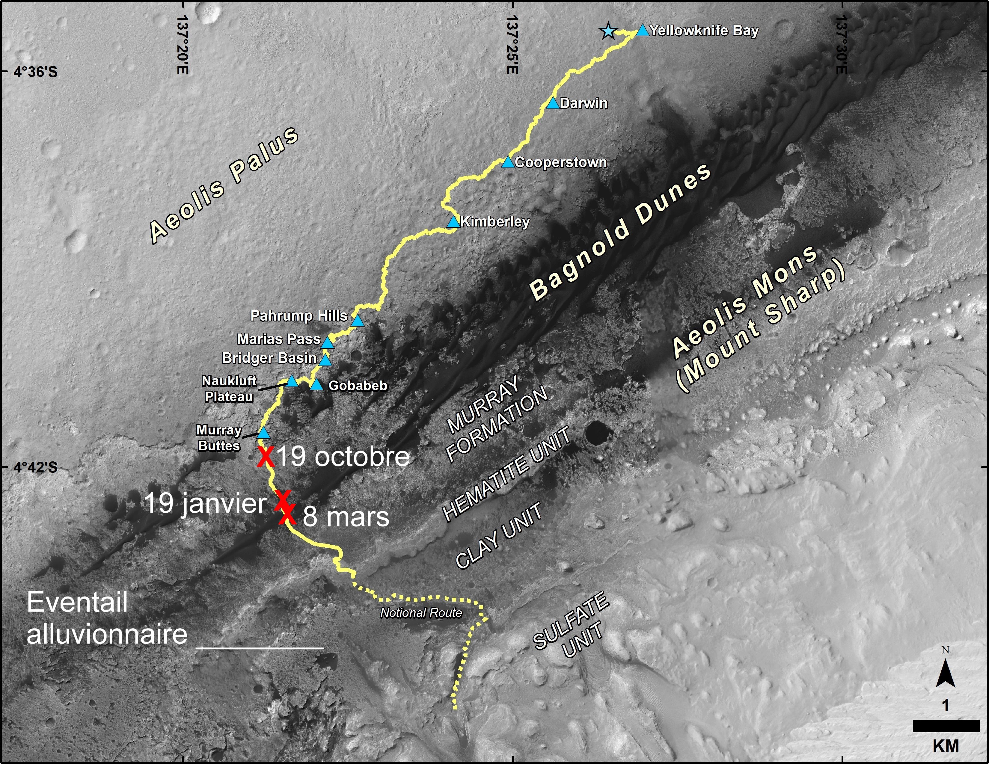
Curiosity location on March 8. In front of Curiosity, on its planned road, a zone with hematite, then with clays and the alluvial delta of the valley that descends from Mount Sharp. (Doc.NASA / JPL-Caltech / Univ.of Arizona / APM)
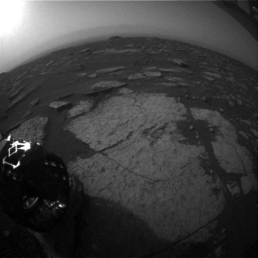
A back Hazcam view on sol 1630, March 8, showing Ireson hill moving away. In the background the ramparts of the Gale crater at 30 km. ( Doc. NASA / JPL-Caltech)
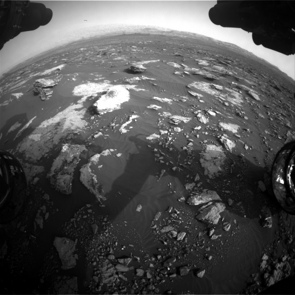
Still a small area mid dune mid rocky strata to cross before reaching the hematite country. The goal is straight ahead, at the foot of Mount Sharp. Image of the Front Hazcam taken on March 8. (NASA / JPL-Caltech)

A panorama of Navcam images over 180 ° taken on 8 March. The Ireson hill is located right in the RTG. Mount Sharp is in the middle a little to the left. (NASA / JPL-Caltech / APM Assembly)
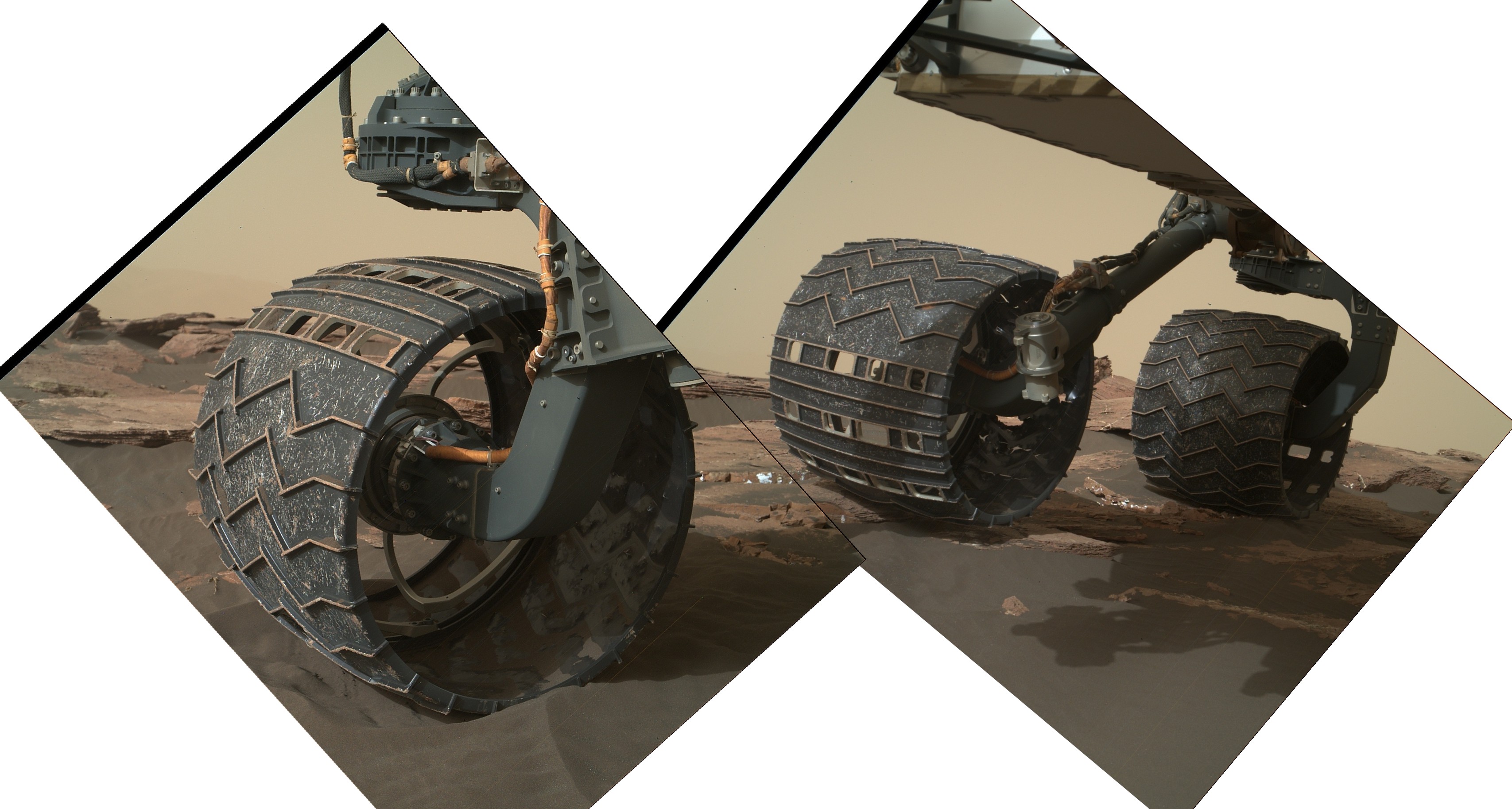
The right-hand wheel train on February 22 by the Mahli camera ( Doc. NASA / JPL-Caltech / MSSS / APM assembly)
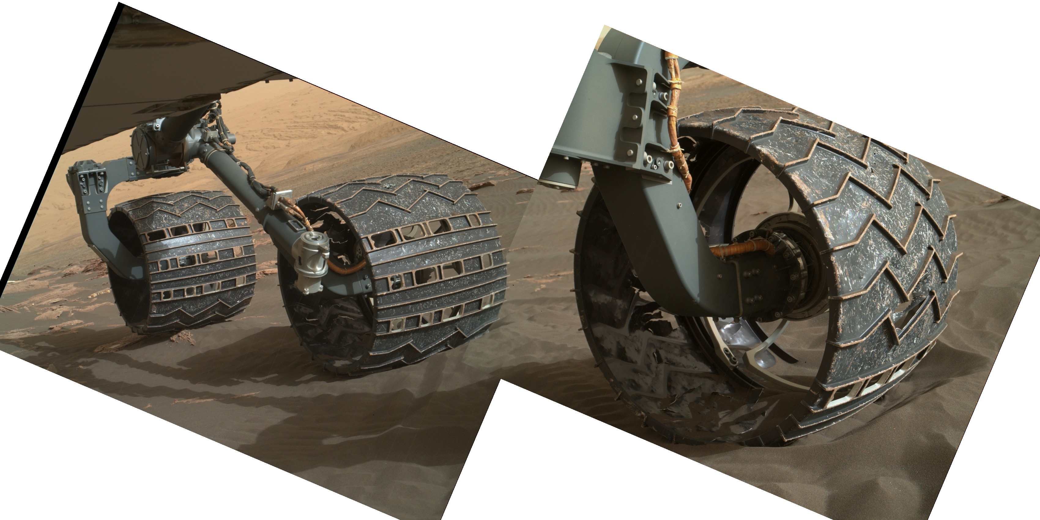
The left wheel train on February 22 by the Mahli camera (Doc. NASA / JPL-Caltech / MSSS / APM assembly)
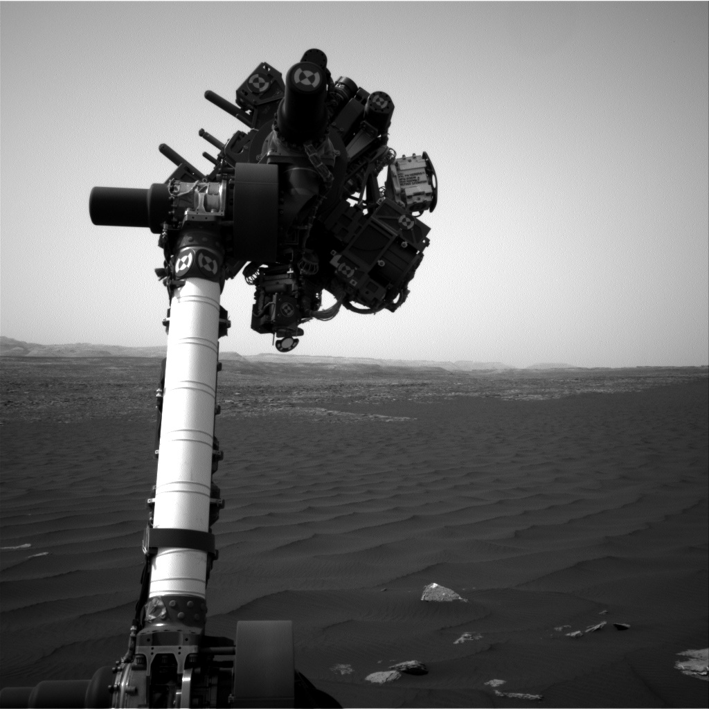
The remote manipulator arm on March the 3rd, while Curiosity was close the western dune (Doc. NASA / JPL-Caltech)
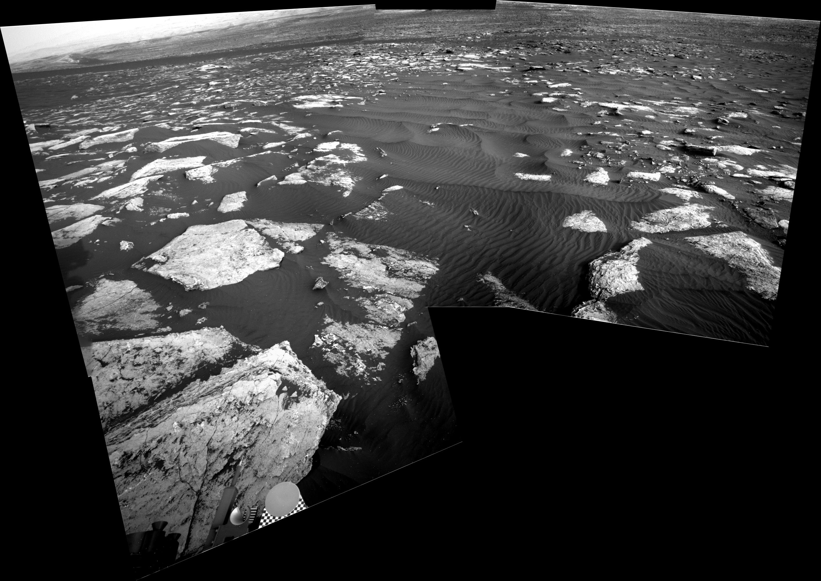
6th of March Navcam images assembly ( Doc.NASA / JPL-Caltech / APM assembly)


